From the Editor Here we are...
 (2000 × 75 px) (2000 x 60 px)")
From the Editor Here we are...
The NSW Government is rethinking its water...

Residents and ratepayers have slammed the Hawkesbury City...
We can reveal today the favoured route for the third Hawkesbury river crossing which will see a second bridge built at North Richmond, slated to open in a mere five years time, and at a cost of over $300m.
Funding will come from both State and Federal governments – $200m from the Federal government and $50m from the NSW government, but there is an option for further federal funding and we have been told this could pitch it well over $300m in total.

The favoured route…
The new bridge has been a long time coming. The last time a bridge was built to cross the flood-prone Hawkesbury river was in 1905 when North Richmond bridge was opened.
A third crossing has been talked about by locals and both major political parties for decades, though many are keen to point out this planned new bridge is really a duplication, as the new bridge will sit very close to the present North Richmond crossing.
Increases in traffic, and housing developments such as Redbank at North Richmond, have made the need to ease traffic congestion ever more urgent.
At the moment, around 31,000 vehicles a day cross North Richmond bridge, according to TfNSW figures, and that is set to increase dramatically.
TfNSW figures reveal traffic in the area during peak periods is expected to increase by a whopping 44 per cent between now and 2046, with a forecast 2000 additional homes also going up during that period west of the Hawkesbury River which will add to traffic congestion and travel times.
Without improvements to the road network around North Richmond, travel times in the morning peak between North Richmond and Richmond are expected to increase from about 14 minutes in 2019 to about 30 minutes in 2046, according to TfNSW.
In the afternoon peak, the reverse trip is expected to increase from about 22 minutes in 2019 to about 38 minutes in 2046.
Working groups of RMS and TfNSW staff as well as 17 community members from nine community groups in the community stakeholder group have worked on a number of potential crossing points and linking approach roadways.
The stakeholder group were told last year that a final Options Report – with the main options – would be released in April-May 2020, so there has been a significant delay which we’re now being told is down to Ministers – both State and Federal – holding back a final decision. It’s not clear why they are doing this – we have asked. The delay may be down simply to bureaucracy or it may be both State and Federal elections are only a few months away and both governments would like a big announcement.
One option – called the purple route – would have seen a road constructed from Bells Line of Road just below Rural Press, running through the top of the new Redbank development, with a bridge that would line up with Crowley’s Lane at Agnes Banks and then flow on to the Driftway.
This purple route was dismissed, in part because of Redbank residents objecting to a major road going through their development. That option would have seen the road passing through land which has not yet been developed at Redbank.
The yellow route has been judged to be too expensive and it was considered it could cause heritage issues because it would have to go past Bronte – at some distance from the front door, it should be said – the 19th century heritage listed home owned by the same family since the 1950s and visible from Yarramundi Lane.
Each of the routes looked at would have impacts and issues.
All the options see roads cross over the Richmond low lands which is flood prone, usually partly flooded every five years on average, and entirely flooded over a typical 20 year period.
Each of the four options (there was also an earlier 2013 route which had previously been discounted) would have an impact on what TfNSW calls areas of “aboriginal heritage sensitivity”, and all options will also have an impact on what they call ‘ecological communities’ – nature to you and I.
The Route
The route most favoured by TfNSW and to be announced soon is called the Hybrid Route and will see a second bridge built at North Richmond, just down river from the current bridge, leaving the river bank not far from where the current small fishing and boating jetty is on the North Richmond side of the Hawkesbury River.
The approach to the new bridge from North Richmond direction would divide from Bells Line of Road just before the BP station, cross part of Hanna Park and then cross the river via the new bridge.
Drivers coming from North Richmond will use this bridge to cross the river. The current bridge will be used by drivers coming from Richmond. Both bridges will be two lanes.

New bridge will sit just down river from the current bridge – on right of pic here
After the new bridge has crossed the river the road would cross Yarramundi Lane and Kurrajong Road at the current junction, which will need to be heavily modified.
There are no plans – and none were discussed because of the potential high cost – for an underpass or overpass where the road crosses the Yarramundi Lane and Kurrajong Road, so there will either be traffic lights or a roundabout, possibly both.

The favoured route would carve across the back of Colo Soccer Club grounds to join Inalls Lane
The new road would then carve across the back of the Colo Soccer Club grounds and into Inalls Lane, which would also be widened.
The route would follow Inalls Lane, cross Castlereagh Road via a roundabout, then pass through Western Sydney University paddocks, parallel to Southee Road, and join Londonderry Road via another roundabout. The road would be around seven to 10 metres from properties in Southee Road.

Inalls Lane, which the new road will travel along and then across Castlereagh Road into Southee Road
This route too would have heritage issues because it would pass the front of Mountainview, a NSW heritage listed house on Inalls Lane built in the early to mid-1880s.
When will it be finished?
This is a major road and bridge building program which will likely be constructed in stages, but TfNSW believe the new bridge may be open to motorists by 2026.
The next stage of the process will be the release of the Preferred Option Report for community consultation.
A TfNSW spokesperson told the Post today, The Preferred Option Report will be available for community comment shortly.
“Transport for NSW appreciates the community’s patience while we continue this important development work on the proposed upgrade.
As you’re here…
Subscribe to Hawkesbury Post – it’s free and you can receive email alerts as news breaks.
And please help us continue to provide quality daily online news as it happens. Support Hawkesbury Post from one dollar, right here.
And for instant news alerts when we publish a new story, follow us on Twitter here.
There are calls for a public health warning to...
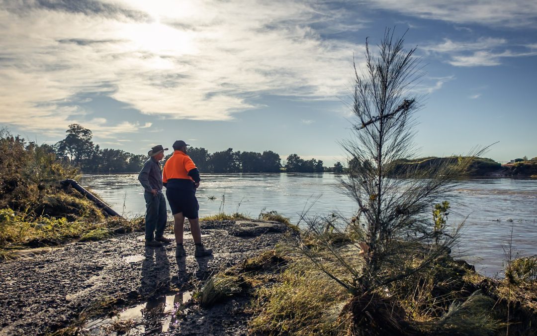
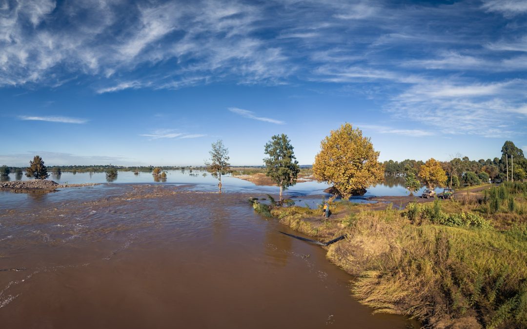
The Hawkesbury River surged well over two metres...
From the Editor Here we are again, grappling...
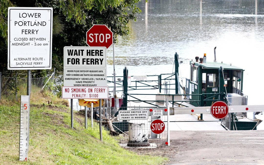
Residents of Lower Portland, commuters and...
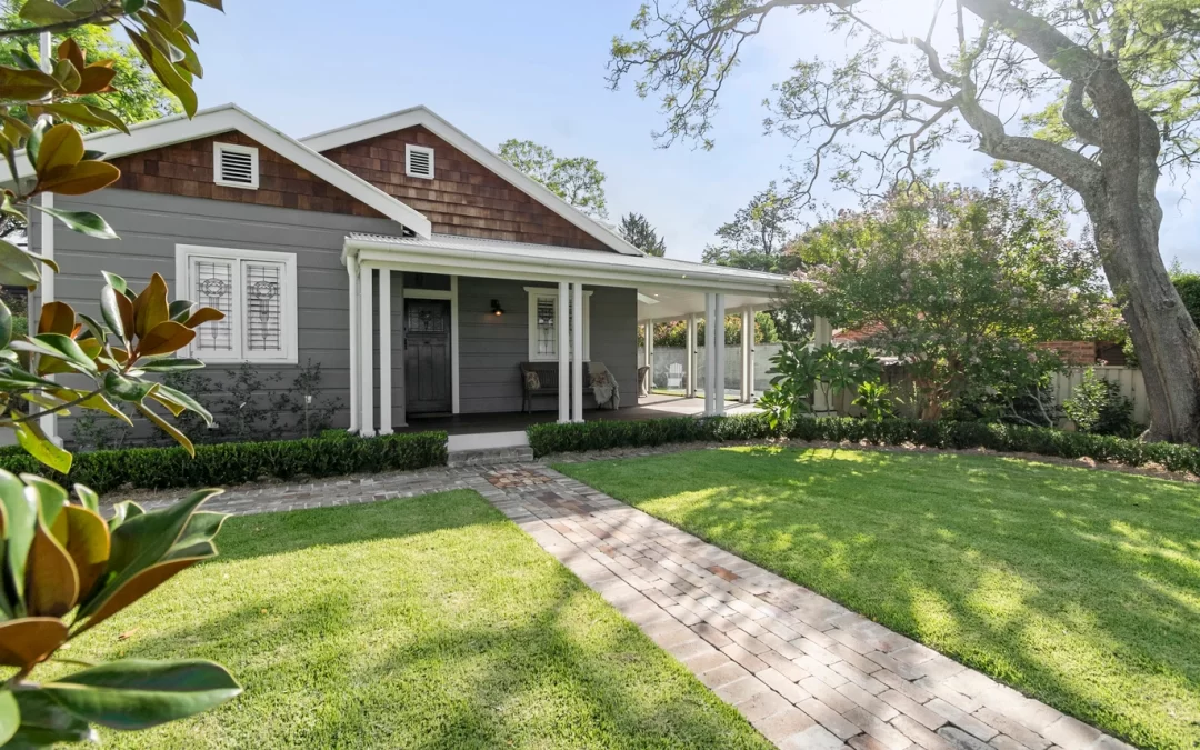
168 Francis Street, Richmond Discover the...
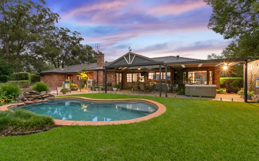
55 Arcadian Road Kurrajong, NSW 2758 Nestled...
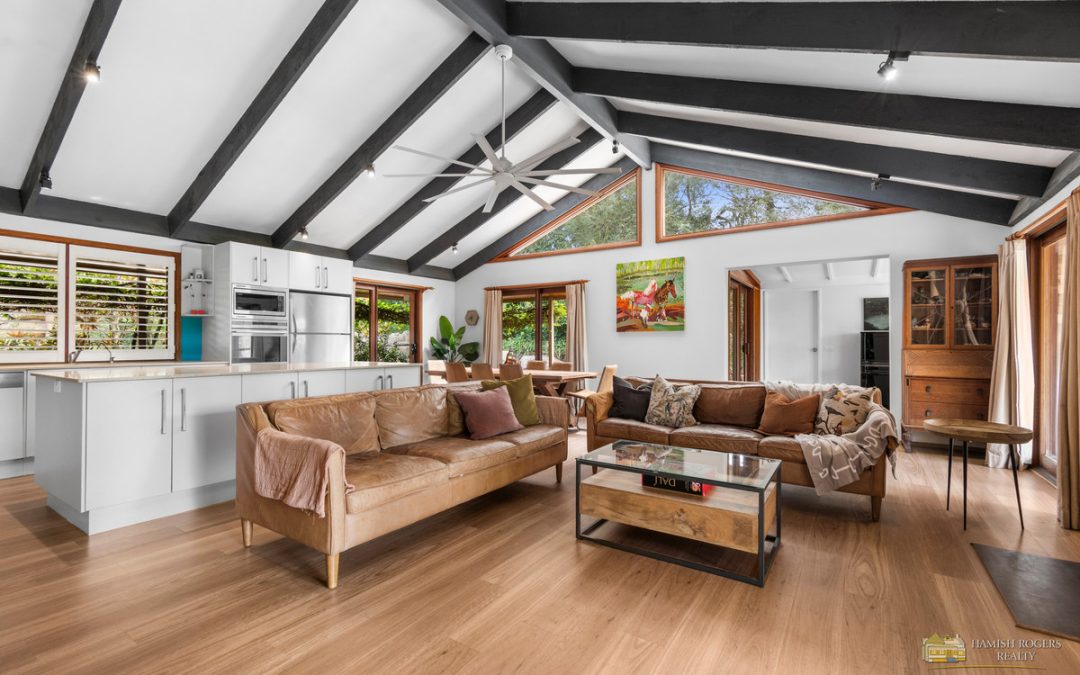
Hamish Rogers Realty is honoured to be marketing...
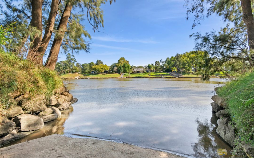
259 Cattai Rd Pitt Town Hamish Rogers Realty is...
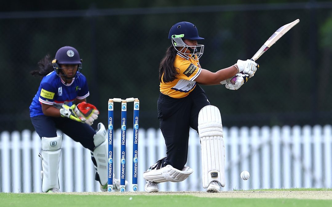
When Pankaj Bhatia isn't managing his busy...
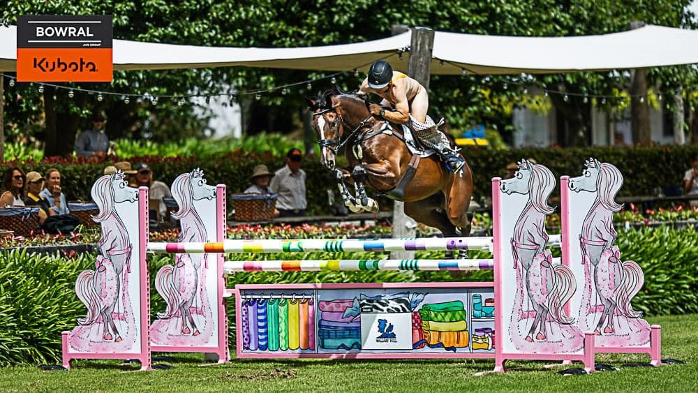
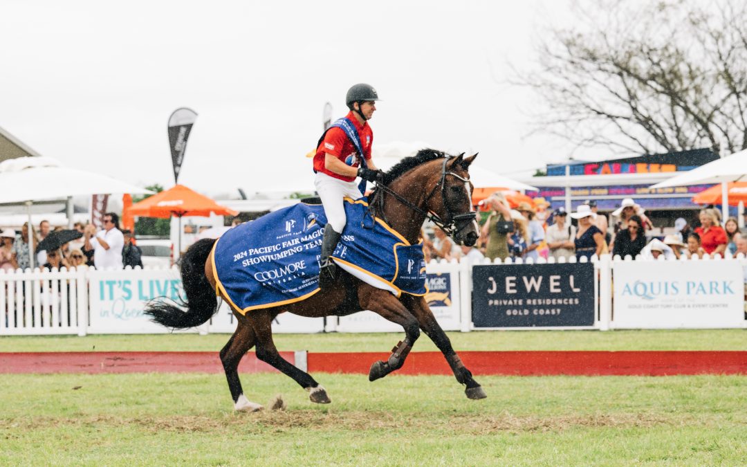
Equestrian sponsor Bowral Kubota has swung in to...
In the fast-paced world of sailing, where...
In a surprising turn of events, self-proclaimed...
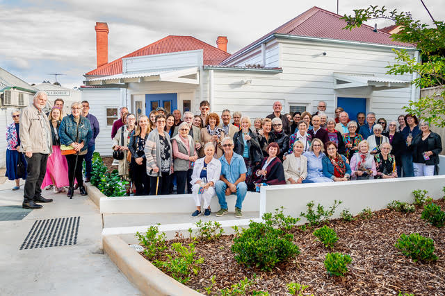
Windsor Optometry recently celebrated a...
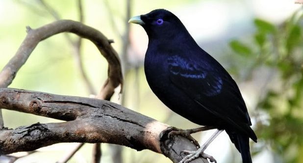
In the lead-up to National Bird Week, Hawkesbury...
From 10am on Wednesday, children aged 0-5 years...

The Windsor Function Centre has come alive with...